Tulameen Loop (Kettle Valley Rail)
Start location: Coquihalla Summit
Ride Type: Loop
Date Ridden: July 2020
Distance: 108 km
Elevation: 1,039 m
Surface: Gravel
Note: The Britton Creek bridge on the East Tulameen FSR has been washed out since 2025 making this section of the route no longer passable until the bridge is replaced. Check the back road status website for updates (link provided on Resources page). The Lawless-Britton FSR is an alternative to connect between Coquihalla Summit and Tulameen, its status is also listed as degraded but this applies to cars while reportedly still being fine for biking (minor walk around).
As of January 2026 the province is planning to decommission some of the KVR portion of this route due to damage from 2021 atmospheric river but there are also efforts underway to save the KVR. Check for updates. Coalmont Rd provides an alternative.




Why do this ride: Part of the Kettle Valley Railway (KVR). Brookmere historical water tower (we missed it)
Difficulty: Straightforward except the final part back to Coquihalla Summit parking lot (see picture with notes).
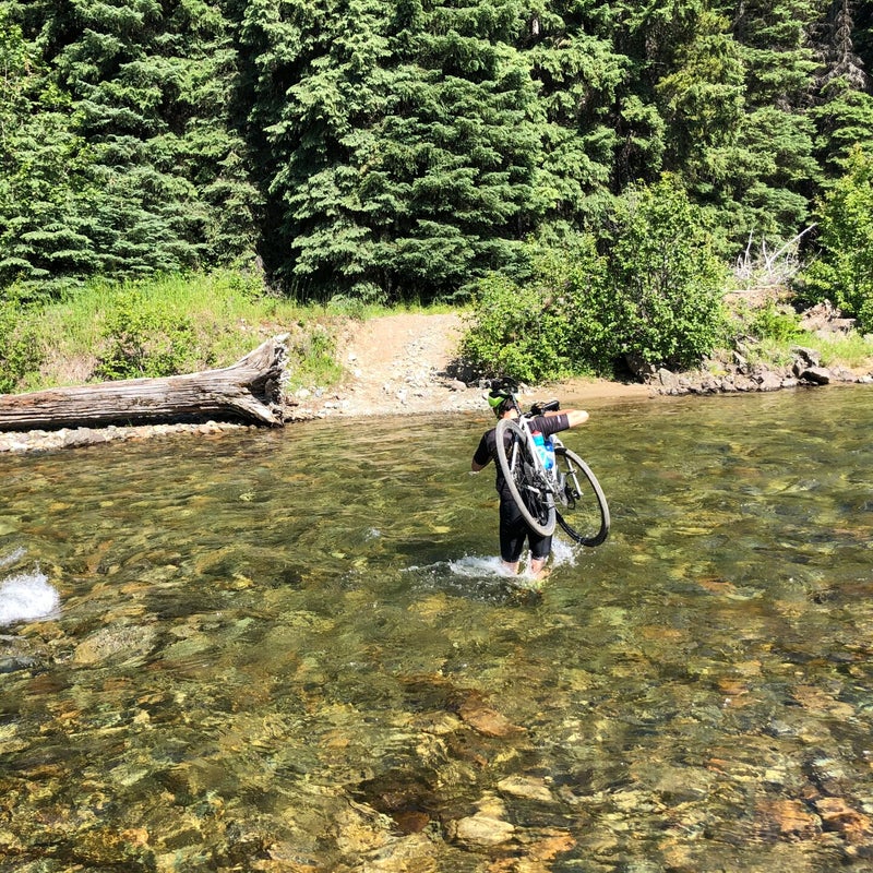
Other notes: We forded the Coquihalla River to follow pipeline route per instructions. Maps do show the official route continuing closer to highway; we looked (see gremlin in GPX) but could not find it and got stuck in deadfall. The pipeline route works but has some steep grades. Definitely not railway grade.
Spot any errors, omissions or have any updates, leave a note below.